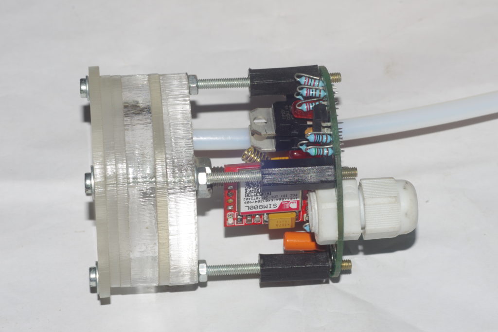
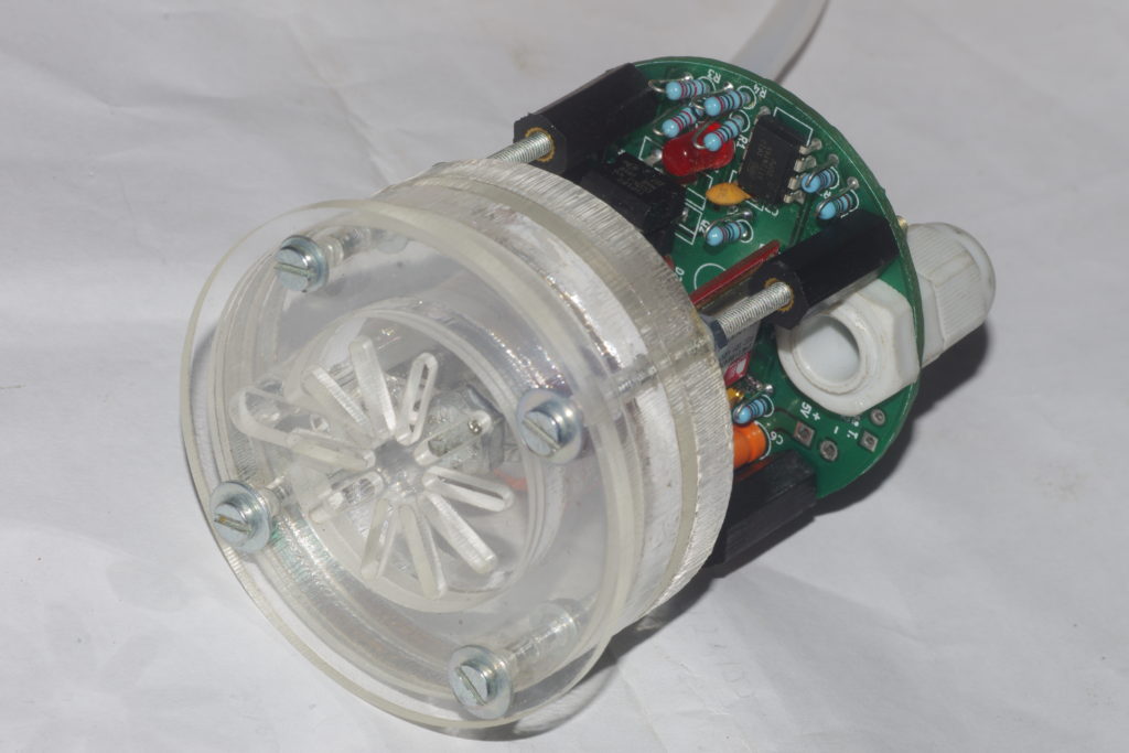

concept → prototype


After a few variations (V0.1-V0.3) finally a small version was developed to reduce cost of acrylic cutting and overall dimensions.


It has a small spihon built into the various layers, as seen in the cross-section below.

Its again designed to drain at about 1mm of rain fall. Fitting is the same as previously done.



Initial idea was to create a device which anyone could make. However, after many jugaad tries it was clear that if volunteers make rain gauges, each will have some difference than the other in terms of accuracy and so there will be no way of relying on the data.
So, reluctantly i chose to remove the uncertainty in the design by using a laser cut acrylic design. It is designed to drain with every 1mm of rainfall, i.e. that is the least count.
Here are some pics.


Maybe there’s not as much need as i perceive it, but as per my discussions with my friends Mrs. Pallavi and Prabhu it was clear that there are far few of rain data points available. Here are some of my perceptions (which one is free to check and prove otherwise) :
So the plan is to create such a system with following features:
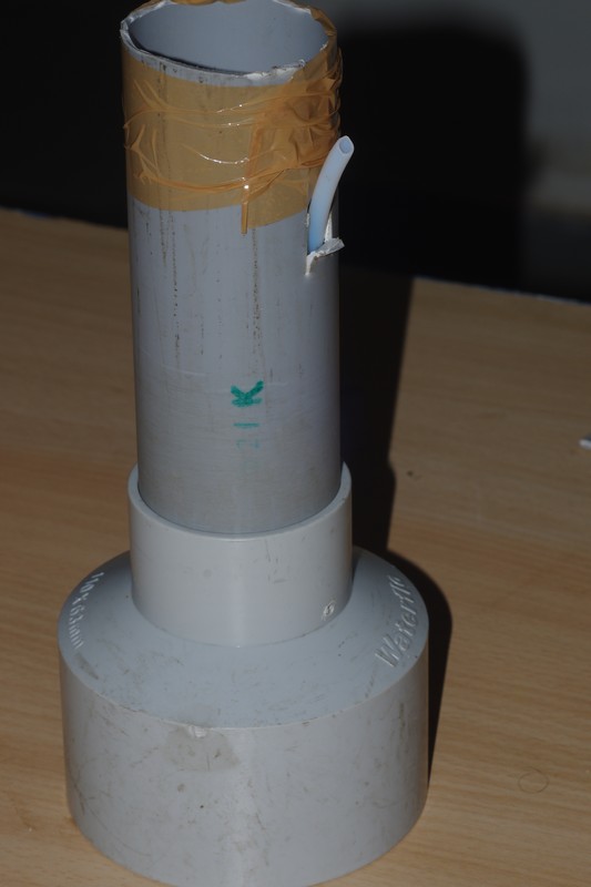
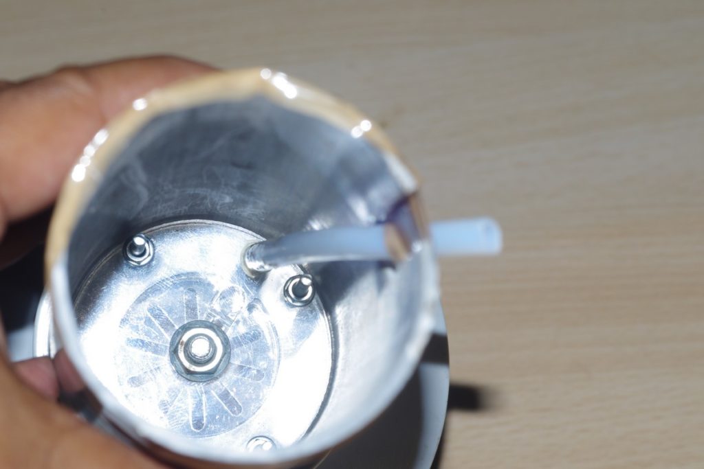
The main issue with conventional rain guages that have online data reporting capability is the need of calibration. So if ours is to be better, then one must remove any moving parts from the design. So how to make a device that makes a measurement of rain and then empties itself without any moving par like valves, etc? – Enter the auto-siphon.
If you take a pipe (a PVC pipe in the following images) and a bendable straw (i used one from a TuttiFrutti mango drink), as seen in the images one make an auto-siphon.

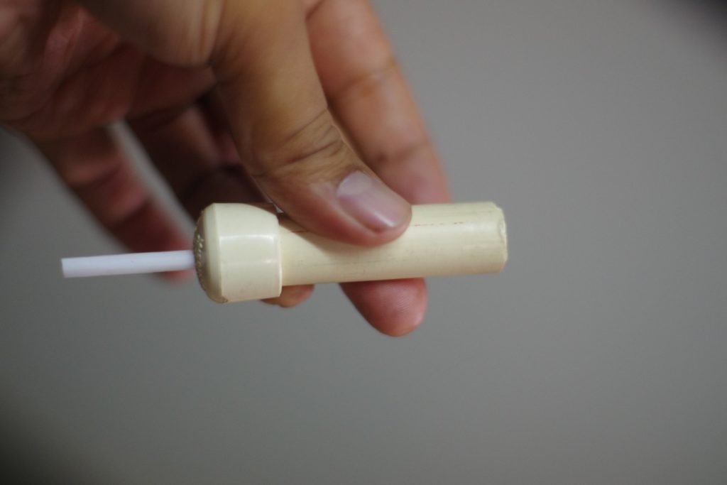
The white straw is sealed by the small hole (as compared to its own diameter) made in the PVC cap. When this piece is filled with water upto the level of the bend (1st image) then it auto-drains completely.
Conclusion: An auto-siphon designed in such a way as to drain everytime a fixed amount of rain has fallen.
So how to do the measurement?